WHY YOU CAN TRUST IT
How DoorProfit Grades Every U.S. Neighborhood
A+ through F safety grades calibrated to the same authoritative crime data law enforcement agencies use — the FBI Uniform Crime Reporting (UCR) program and the National Incident-Based Reporting System (NIBRS) — refreshed daily from state and local agency feeds.
25,000+
U.S. cities covered with incident-level data across all 50 states.
30M+
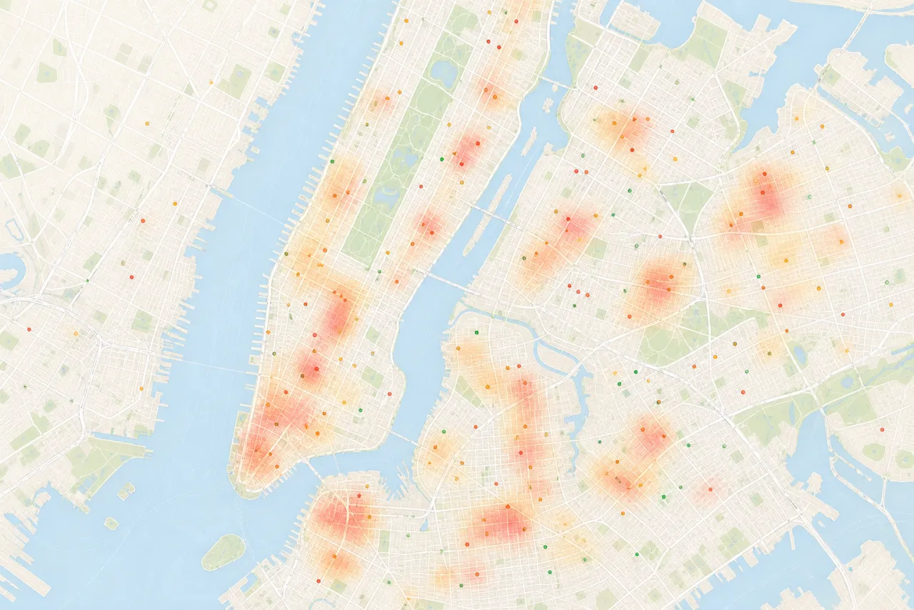
Mapped crime incidents from state and local law enforcement feeds, cross-referenced with FBI UCR and NIBRS.
250,000+
Monthly users across web, iOS, and Android. Real estate investors, families, renters, and property managers.
The A+ through F grade methodology
Every DoorProfit safety grade is calculated from a location’s crime rate per 100,000 residents and benchmarked against the most recent FBI UCR national averages: total crime 2,212.8 per 100K, violent crime 380.7 per 100K, and property crime 1,832.1 per 100K. Violent crime is weighted at roughly 2× property crime severity to match how most people perceive risk. A 12-month trend adjustment tilts the grade toward improving or declining neighborhoods, and population-tier matching (small town vs. major metro) keeps rural and urban grades comparable within their peer group.
An A+ grade indicates a location in the bottom 10% of its population tier for overall crime; an F indicates the top 10%. Grades refresh daily as new incident reports are ingested from law-enforcement feeds. Where incident counts are too low for a reliable rate (typically fewer than 10 incidents per year in a small census-block group), DoorProfit displays an explicit “insufficient data” indicator rather than a potentially misleading grade.
Data sources and authority
Crime incidents are sourced from state and local law enforcement agencies, supplemented by the FBI UCR program and NIBRS — the FBI’s incident-level reporting standard since 2021. State-level UCR supplements (California CA-UCR, Texas UCR via DPS, New York DCJS) are integrated where available. Registered offender information is aggregated under the Jacob Wetterling Act (1994), Megan’s Law (1996), and the Adam Walsh Child Protection and Safety Act (2006), with state registries maintained by each state’s department of public safety or attorney general’s office.
Who uses DoorProfit
- Families and home buyers comparing neighborhoods and school districts before closing.
- Renters validating apartment options against registered-offender proximity and violent-crime trends.
- Real estate investors underwriting rental properties and flips with crime score folded into cap rate and cash-on-cash returns via the Deal Analyzer.
- Property managers screening sub-markets at the zip-code and neighborhood level across multi-unit portfolios.
- Relocation professionals preparing transferee packets for corporate moves.